mail_outline sales@mediastorehouse.com
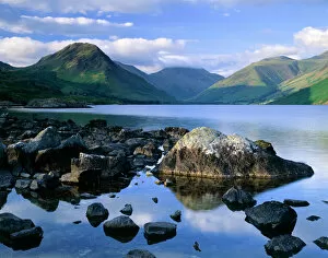
Wast Water, Lake District J060228WAST WATER, Lake District, Cumbria. Showing the fell of Yew Barrow in the distance
Wast Water, Lake District J060226WAST WATER, Lake District, Cumbria. A view over Wast Water showing the fell of Yew Barrow in the distance
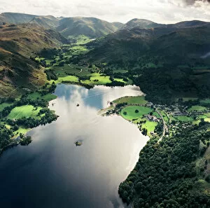
Ullswater EAW587876ULLSWATER, Lake District, Cumbria. Aerial view of Ullswater and Patterdale. Aerofilms Collection (see Links)
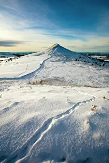
Roseberry Topping N100024ROSEBERRY TOPPING, North Yorkshire. Snow view of hill on North Yorkshire moors with animal tracks
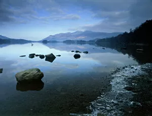
Derwentwater K100004DERWENTWATER, Lake District National Park, Cumbria. View across the water showing an ice formation on the right. derwent
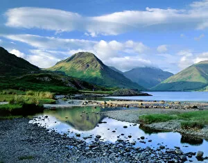
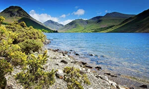
Wast Water, Lake District N061018WAST WATER, Lake District National Park, Cumbria. Shoreline of the lake with gorse bushes and mountains in the distance. View towards Scafell
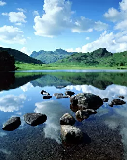
Blea Tarn, Lake District J060236BLEA TARN, Lake District, Cumbria. A view across Blea Tarn showing reflections of the clouds on the waters surface
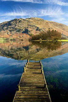
Ullswater, Lake District N100017ULLSWATER, Lake District, Cumbria. A landing stage jetty with reflection of Place Fell in the lake
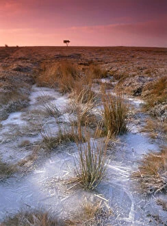
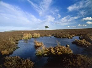
Egton Moor K100005EGTON MOOR, North Yorkshire. View of the moor between Goathland and Egton Bridge. Ice forms on an expanse of water with tree on the horizon
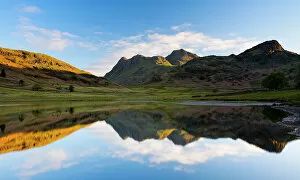
Blea Tarn, Lake District N061019BLEA TARN, Lake District National Park, Cumbria. The Langdale Pikes reflected in Blea Tarn
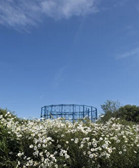
Gas holders DP263004Eastbourne Gas Holder Station, Finmere Road, Eastbourne, East Sussex. General view looking south towards the gasholders, with overgrown foliage between Horsey Sewer
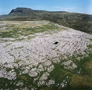
Ingleborough Common EAW603463Ingleborough Common, Yorkshire Dales. Aerial view of a limestone pavement - a natural karst landform consisting of a flat incised surface of exposed limestone. Aerofilms Collection (see Links)
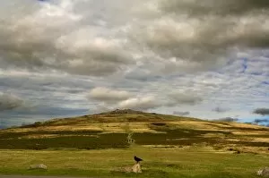
Dartmoor N040023DARTMOOR, Devon. Great Staple Tor and surrounding clitterfields
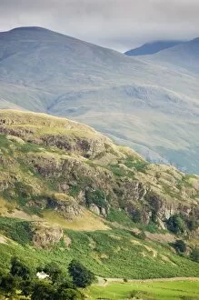
Cumbrian Fells N060253CASTLERIGG, Cumbria. Detail of Cumbrian Fells
Egton Moor K021738EGTON MOOR, North Yorkshire. View of the moor between Goathland and Egton. Bridge
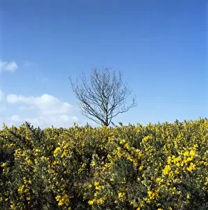
Exmoor K020598NORTH HILL, Exmoor, Somerset. View of yellow gorse and tree against a blue sky