mail_outline sales@mediastorehouse.com
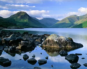
Wast Water, Lake District J060228WAST WATER, Lake District, Cumbria. Showing the fell of Yew Barrow in the distance
Wast Water, Lake District J060226WAST WATER, Lake District, Cumbria. A view over Wast Water showing the fell of Yew Barrow in the distance
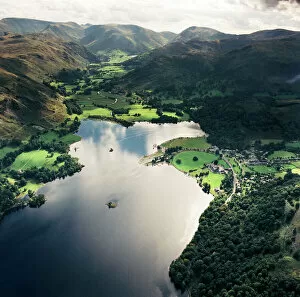
Ullswater EAW587876ULLSWATER, Lake District, Cumbria. Aerial view of Ullswater and Patterdale. Aerofilms Collection (see Links)
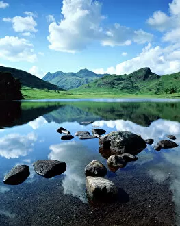
Blea Tarn, Lake District J060231BLEA TARN, Lake District, Cumbria. View across the tarn showing the Langdale Pikes and Side Pikes beyond
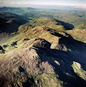
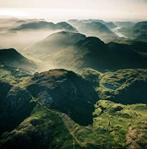
Scafell Pikes AFL03_aerofilms_ac587428SCAFELL, Cumbria. Aerial photograph showing Scafell Pikes and the Lake District. Aerofilms Collection (see Links)
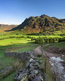
Early light on the Langdale Pikes, Cumbria N060979LANGDALE PIKES, Lake District National Park, Langdale, Cumbria. Mountain in the morning sunlight with footpath and wall
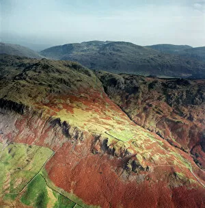
Hardknott Roman Fort EAW589036HARDKNOTT, Cumbria. Aerial photograph showing the well-placed Roman fort on a promontory overlooking the Lake District (NGR: NY218015). Aerofilms Collection (see Links)
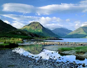
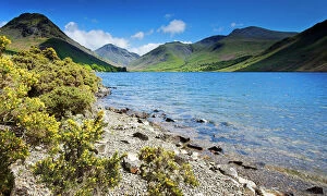
Wast Water, Lake District N061018WAST WATER, Lake District National Park, Cumbria. Shoreline of the lake with gorse bushes and mountains in the distance. View towards Scafell
Scafell EAW587429SCAFELL, Cumbria. Aerial view of Great End, 910 metres (2984 ft), the most northerly mountain in the Scafell chain, in the Lake District National Park. Aerofilms Collection (see Links)
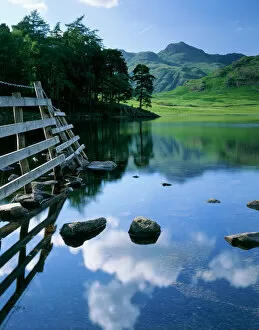
Blea Tarn, Lake District J060236BLEA TARN, Lake District, Cumbria. A view across Blea Tarn showing reflections of the clouds on the waters surface
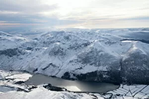
Buttermere 28980_007Buttermere, Cockermouth, Lake District, Cumbria. A view of the lake from the North with snow on the ground
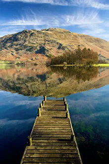
Ullswater, Lake District N100017ULLSWATER, Lake District, Cumbria. A landing stage jetty with reflection of Place Fell in the lake
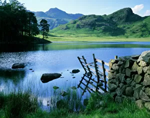
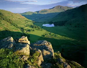
Side Pike, Lake District J060227SIDE PIKE, Lake District, Cumbria. View of Blea Tarn, Blea Moss and the Tilberthwaite Fells
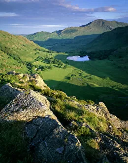
Side Pike, Lake District J060230SIDE PIKE, Lake District, Cumbria. View from Side Pike showing Blea Tarn and Tilberthwaite fells in the background
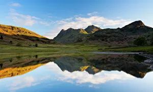
Blea Tarn, Lake District N061019BLEA TARN, Lake District National Park, Cumbria. The Langdale Pikes reflected in Blea Tarn
Blea Tarn, Lake District J060235BLEA TARN, Lake District, Cumbria. View of the tarn with the Langdale Pikes in the distance